


RA 2022 Traversée Eylac Lioran

dfluzin
User
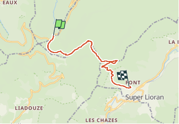

Length
10.4 km

Max alt
1783 m

Uphill gradient
580 m
Km-Effort
18.8 km

Min alt
1198 m

Downhill gradient
797 m
Boucle
No
Creation date :
2022-08-04 07:40:00.477
Updated on :
2022-08-04 12:42:06.744
3h47
Difficulty : Difficult

FREE GPS app for hiking
 SityTrail
IGN / Geographical institutes
SityTrail Plus
The world is yours!
About
Trail Walking of 10.4 km to be discovered at Auvergne-Rhône-Alpes, Cantal, Le Claux. This trail is proposed by dfluzin.
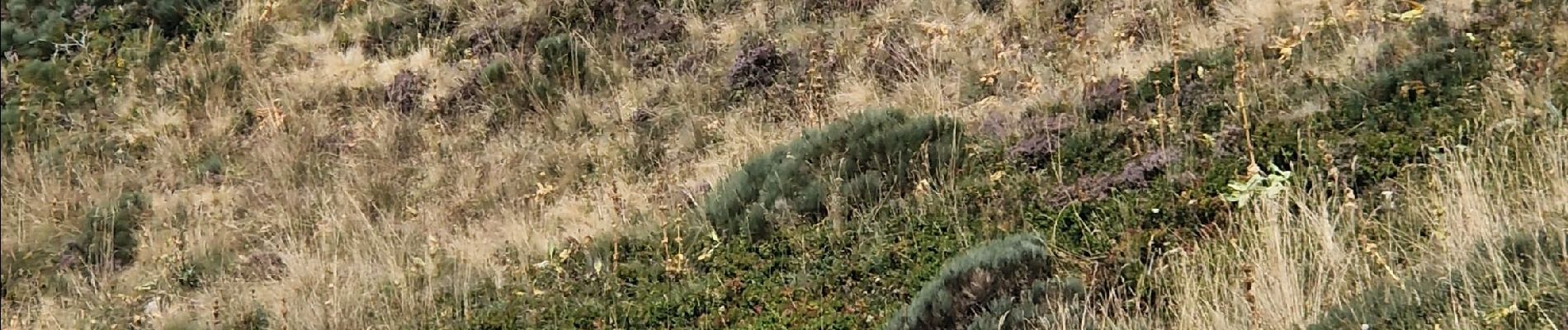
Photos


Positioning
Country:
France
Region :
Auvergne-Rhône-Alpes
Department/Province :
Cantal
Municipality :
Le Claux
Location:
Unknown
Start:(Dec)
Start:(UTM)
475328 ; 4995566 (31T) N.
Comments